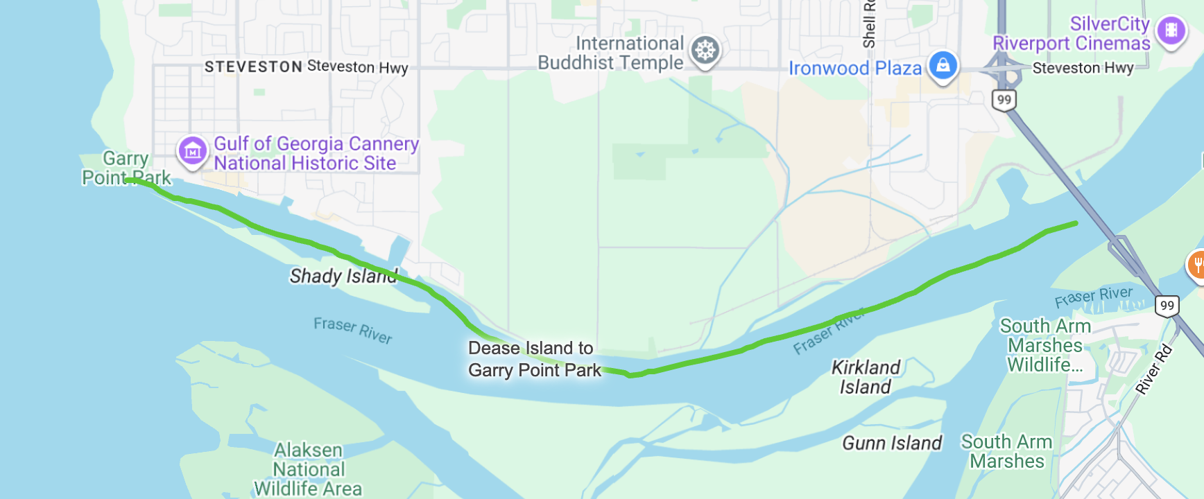
Deas Island Regional Park to Garry Point Park
Where the Fraser River Challenge finally meets the Salish Sea
Deas Island Regional Park → Garry Point Park
This is not just another stretch of river.
This is the Fraser River Delta — the place where 1,375 kilometres of current — and the Fraser River Challenge expedition — finally meets the Salish Sea.
Launching from Deas Island Regional Park, a flotilla of ten canoes enters a vast, tidal landscape built over 10,000 years of sediment carried from the Rockies. South of Vancouver, the Fraser River Delta spreads across more than 32,000 hectares of floodplain, marsh, and tidal flats — Canada’s largest west coast delta and one of the most dynamic working landscapes in the country.
Here, river flow and Pacific tides shape everything. The water breathes. Currents shift. Sandbars migrate. Beneath your hull lie the twin tubes of the George Massey Tunnel, and ahead stretch the wide estuarine channels that define the delta’s edge.
You paddle past Kirkland, Gunn, and Barber Islands, then onward toward Westham Island and Shady Island, where tidal flats expand toward Sturgeon and Roberts Banks. These mudflats and marshes are internationally recognized habitat, supporting roughly a quarter million wintering waterfowl and over a million migrating shorebirds. Juvenile salmon funnel through this low-salinity corridor on their way to the Strait of Georgia, while the delta’s productivity fuels an entire coastal food web.
This is also an economic engine. Farms stretch across the fertile floodplain. Industrial terminals and shipping lanes hum along the horizon. Vancouver International Airport rises nearby. The delta supports over 200,000 residents and critical infrastructure — yet remains vulnerable to earthquakes, sea-level rise, sediment erosion, and the consequences of dredging and development. It is both natural wonder and heavily managed system — a landscape that demands balance.
From the water, that complexity is unmistakable. Eagles ride thermals above the marshes. Tugs and freighters move along shipping channels. Wide skies open toward the Pacific. The Fraser is immense here — tidal, industrial, agricultural, ecological — all at once.
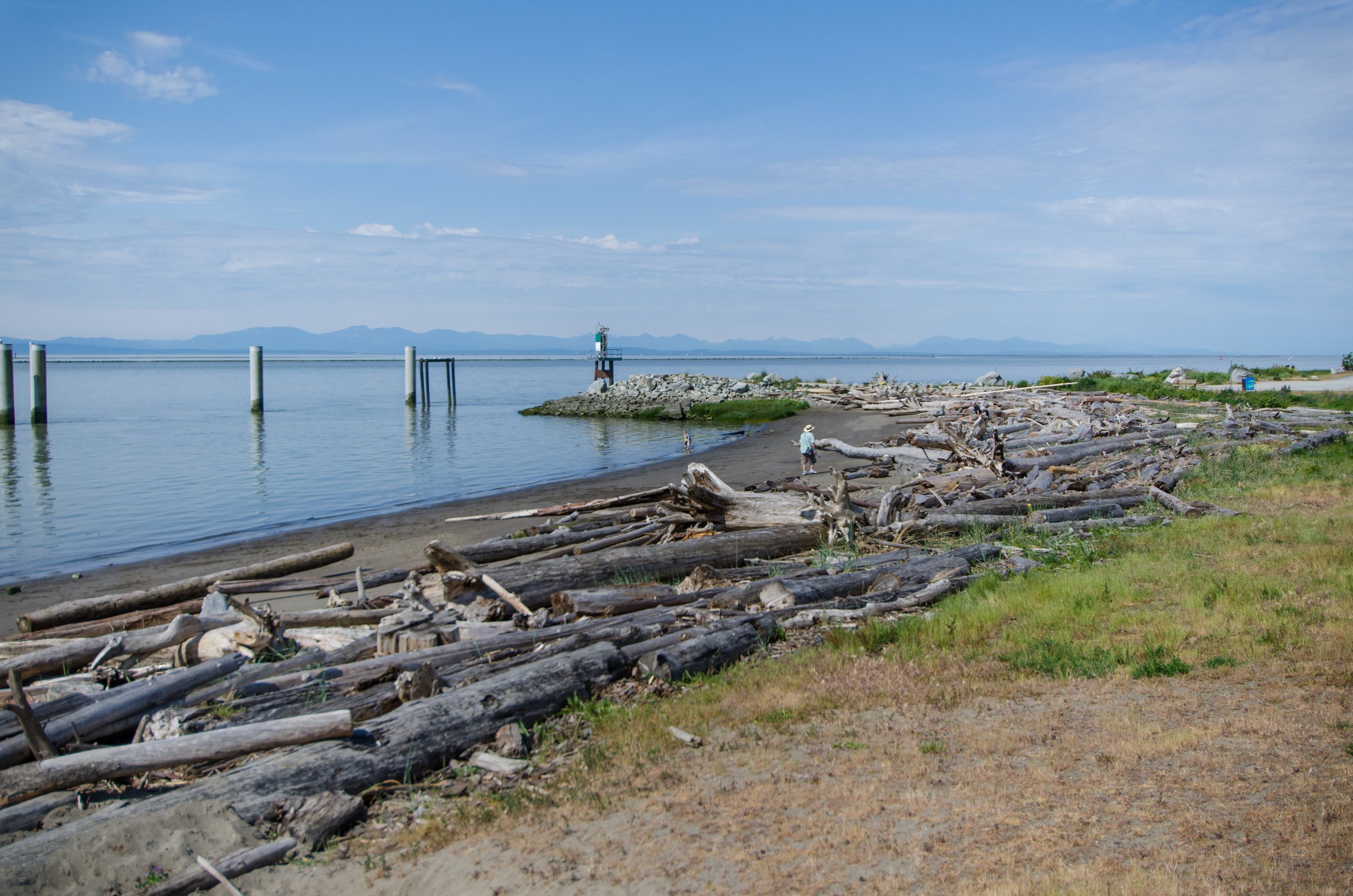
As Richmond’s shoreline comes into view, the flotilla makes a celebratory sweep toward Garry Point Park. The river widens, slows, and begins to taste the ocean. This is the culmination of the Fraser River Challenge — the final leg of a 30-day expedition for the swim relay team and canoe sponsors.
The celebration awaits.
The crowd.
The finale.
After a month of following the Fraser from its headwaters to the delta, the river releases you here — at the edge of sea and sky — where current becomes tide and the journey becomes story.
Why this stretch is special:
Paddle the 10,000-year-old Fraser River Delta - Canada’s largest west coast delta ecosystem
Tidal flats, marshes, and internationally significant bird habitat
Pass over the George Massey Tunnel and through island networks
Witness the intersection of ecology, agriculture, and major infrastructure
Be on the final flotilla that escorts the swimmers to the grand finale of a 30-day Fraser River expedition
This is more than a paddle.
It is the river’s last chapter — and your most powerful finish.
Kirkland Island
Richmond
Shady Island
Steveston