
Westminster Quay to Deas Island Regional Park
Float through cityscapes – industrial, tidal, and immense.
Westminster Quay → Deas Island Regional Park
From skyline to tidal delta, this stretch follows the main arm of the Fraser River (river left) as it pushes steadily toward the sea.
Launching from Westminster Quay, you immediately feel the scale of the Lower Fraser. The channel is broad and purposeful, shaped by both heavy river discharge and daily Pacific tides. On your left, the cityscape of Surrey lines the shoreline; on your right, the industrial expanse of Annacis Island reflects the working heart of the river.
Drift beneath the sweeping span of the Alex Fraser Bridge, a defining landmark of the Lower Mainland. Barges, tugboats, rail lines, and transport arteries hum along the banks, particularly along River Road, Sunbury, and Tilbury Island—reminders that this is one of Canada’s busiest commercial waterways.
Yet even here, tidal flats fringe the edges of the channel. Mudbanks and marsh pockets appear at low tide, attracting shorebirds and waterfowl. Bald eagles often patrol overhead, and salmon continue their migration beneath the surface, threading through one of the most engineered sections of their journey.
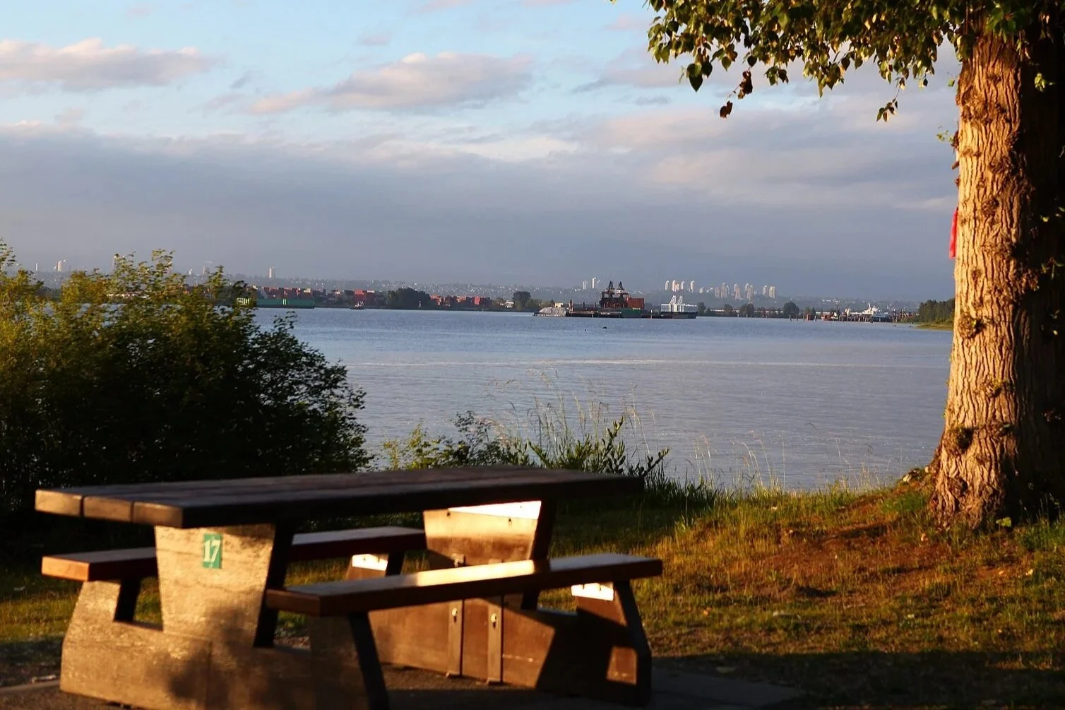
As you approach Deas Island Regional Park, the landscape softens slightly. Though often called an island, Deas is more of a peninsula tucked into the main channel. Rounding Deas Island feels like slipping into a green refuge within the Lower Fraser’s working corridor. Cottonwoods line the banks, tidal currents shape the shoreline, and wildlife persists despite the surrounding city. It’s a quiet, pastoral finish where river, tide, and farmland meet — a reminder that even here, near the delta, the Fraser is still very much alive.
The journey concludes at the marina at Hampton Cove—an accessible and sheltered finish in a landscape defined by scale, movement, and tidal rhythm.
Why this stretch is special:
Follow the Fraser’s main arm toward the delta
Paddle between urban Surrey and industrial Annacis Island
Pass beneath the iconic Alex Fraser Bridge
Experience the tidal dynamics and mudflats of the Lower Fraser
Circumnavigate Deas Island’s forested peninsula
This is the Fraser in full metropolitan form—industrial, tidal, and immense—yet still alive with salmon, birds, and the steady pull of the Pacific just downstream.
Delta
New Westminster
Richmond
Surrey