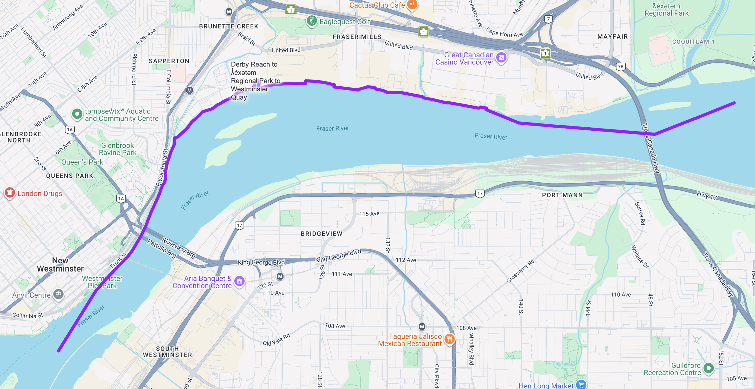
ƛ̓éxətəm Regional Park to Westminster Quay
ƛ̓éxətəm Regional Park → Westminster Quay
Tidal, urban, industrial — and unexpectedly alive
ƛ̓éxətəm Regional Park → Westminster Quay
This is the Fraser at its most layered—tidal, urban, industrial, and unexpectedly alive.
Launching from ƛ̓éxətəm Regional Park, you paddle into the heart of Metro Vancouver’s working river. The current here is shaped by Pacific tides, rising and falling beneath your hull while thousands of salmon migrate upstream from the ocean below you. Beneath the surface, sturgeon and migratory fish move through deep channels; above, bald eagles and great blue herons patrol the riparian edges.
Early in the journey, you pass Tree Island, one of the river’s resilient green pockets. Cottonwoods and shrubs cling to gravel bars and side channels, offering refuge for deer and birds despite the surrounding density.
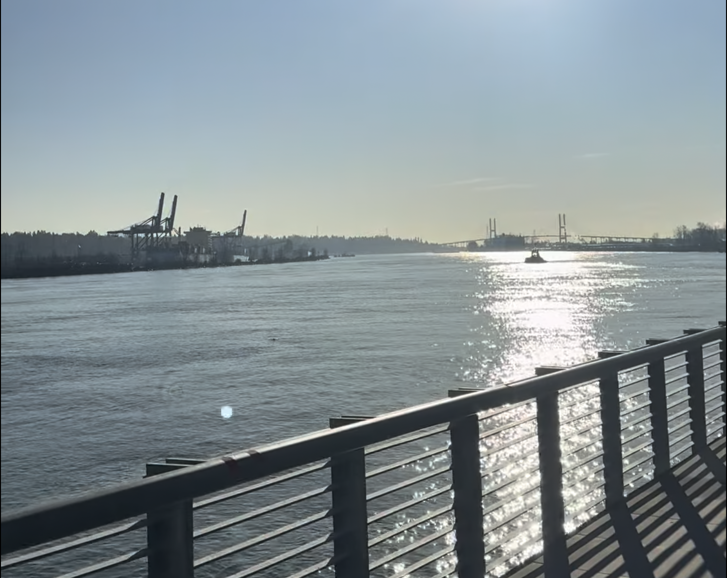
You glide beneath the sweeping spans of the Port Mann Bridge and the striking new Pattullo Bridge replacement - Stal̕əw̓asəm Bridge, where transport arteries converge overhead. Nearby, the SkyBridge carries SkyTrain cars silently across the water, while cargo ships, tugboats, rail lines, highways, and even descending aircraft remind you that this is one of Canada’s busiest river corridors.
Yet between the steel and skyline, nature persists. River islands, back eddies, and strips of forested shoreline provide habitat for herons, waterfowl, and seasonal wildlife. The Fraser here is not diminished by the city—it powers it.
As New Westminster’s skyline rises ahead, the river bends toward Westminster Quay. Boardwalks, public art, riverfront parks, and cafés line the shore, creating a vibrant and welcoming finish. Paddle in beneath historic brick buildings and modern glass towers—arriving at the place where the Fraser has shaped commerce, culture, and community for more than 150 years.
Why this stretch is special:
Paddle the freshwater tidal reach through the heart of Metro Vancouver
Pass beneath iconic bridges and transport corridors
River islands and green pockets amid urban density
Salmon migration beneath you; eagles and herons overhead
Dramatic skyline finish at Westminster Quay
This is a journey of contrast and convergence—where wild salmon, working river, and modern city meet in one unforgettable Lower Fraser experience.
New Westminster
Surrey