RESERVED — Derby Reach Regional Park to ƛ̓éxətəm Regional Park
Dynamic, tidal, unmistakably urban - yet rich in wildlife
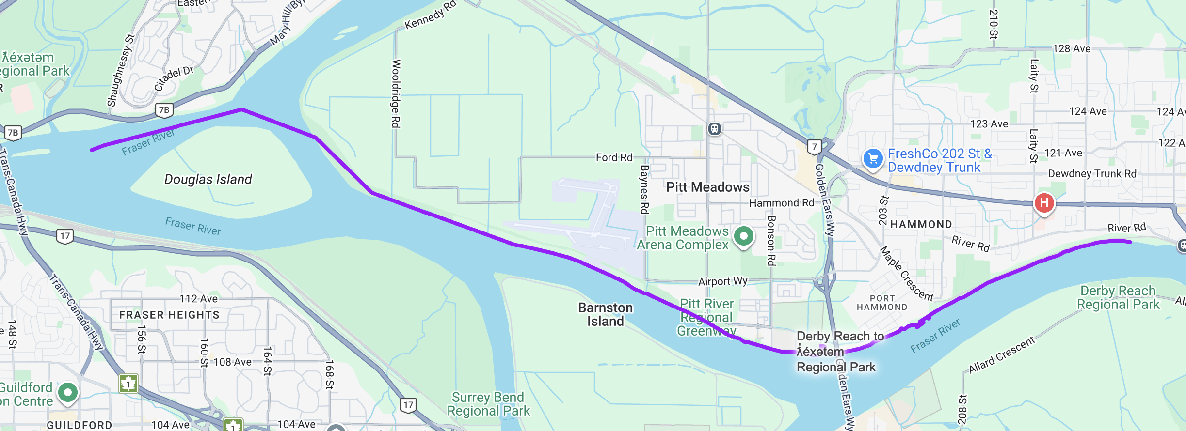
Derby Reach Regional Park → ƛ̓éxətəm Regional Park
This stretch of the Fraser is dynamic, tidal, and unmistakably urban—yet still rich with wildlife and working landscapes.
Launching from Derby Reach Regional Park, you are in the freshwater intertidal reach of the Fraser River. Here, powerful river discharge meets Pacific tides, creating expansive mudflats and low-salinity marshes that serve as critical habitat for juvenile salmon and migratory birds. The water subtly rises and falls with the tide, adding a new rhythm to your paddle.
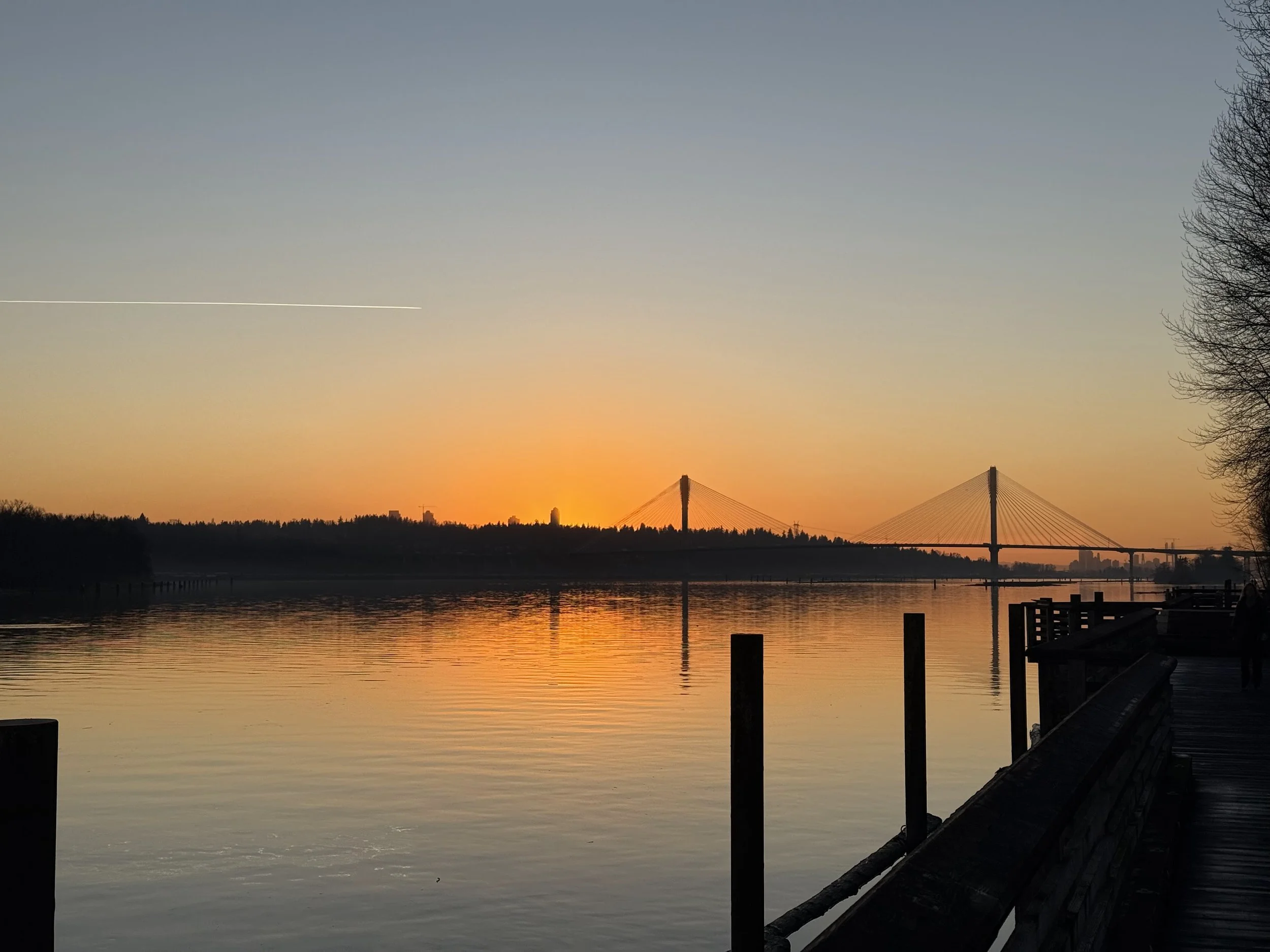
Soon you glide beneath the sweeping span of the Golden Ears Bridge, a striking landmark linking Langley and Maple Ridge. On the horizon, densified cityscapes of Maple Ridge, Pitt Meadows, Langley, and Surrey rise beyond the dikes—yet the immediate river corridor features substantial greenspaces.
Agricultural landscapes continue to shape the valley floor, especially around Barnston Island, where fertile soils support active farming within the tidal system. Interspersed among the fields are pockets of intact riparian habitat, including Surrey Bend Regional Park and Douglas Island, both rich in birdlife and backwater channels.
Here is the confluence of Pitt River and the Fraser River. This junction is a migration crossroads for multiple salmon species, a critical sturgeon holding habitat, and a feeding zone where currents concentrate nutrients. Juvenile salmon moving down from Pitt Lake mix with Fraser-bound runs heading upstream. The water here is biologically charged.
As you approach Citadel Landing, the river widens toward the confluence with the Coquitlam River, bordered by the Coquitlam River Wildlife Management Area—an important refuge for fish, waterfowl, and shoreline species.
The journey concludes at ƛ̓éxətəm Regional Park, a landscape of open fields and wetlands that provide habitat, food, shelter, breeding sites, and resting grounds for more than 200 bird species and a wide diversity of wildlife.
Paddlers are invited to join us for a catered meal at ƛ̓éxətəm Regional Park and celebrate the progress of the Fraser River Challenge!
Why this stretch is special:
Paddle the freshwater tidal flats of the Fraser River
Glide beneath the iconic Golden Ears Bridge
Pitt river confluence ecosystem
Urban skylines balanced by farmland and protected green spaces
Enjoy a bird-rich wetland sanctuary at ƛ̓éxətəm Regional Park
This is the Fraser in its most layered form—tide-influenced, wildlife-rich, and framed by both city and farmland. A journey where ecology persists and even thrives within one of British Columbia’s most populated corridors.
Douglas Island
Fort Langley
Katzie
Maple Ridge
Pitt Meadows
Port Coquitlam
Port Kells
Surrey
Walnut Grove